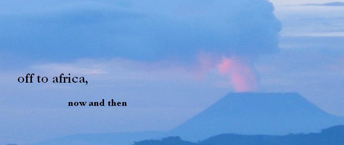
One weekend near the end of the two years I lived in Rwanda, I needed a break. I decided to take my break by driving to Queen Elizabeth National Park in Uganda. I didn't have a guidebook for Uganda, but some Canadian friends did, so I borrowed it and called the lodge at the park and made a reservation for two nights, and I set off across the border.
I am fairly certain that this was the first and so far only time I ever crossed a land border, with a vehicle, by myself. I've done it other times when I was by far the most knowledgeable person and I was the one responsible for the car, but I think that was the only time I've ever done it completely alone. I crossed the border without incident, drove up the tarmac road toward for a while, and then turned off onto a dirt road per the sketch map in the Lonely Planet.
The story I am about to tell is why I do not trust Lonely Planet maps.
After I drove up this wide, smooth dirt road for a while, I stopped to look at the guidebook and discovered that the overpowering smell of rotting bananas in my truck was due to a bag of, well, rotting bananas that were under the driver's seat. I had not put them there. I do not generally choose bananas as sustenance. They had been put there by someone else using my truck. Yuck. I threw them out on the side of the road.
I studied the guidebook for a while, trying to decide if I was to continue straight on the wide, smooth road, or turn off on the tiny, bumpy road that went off to the right. The guidebook showed no turns at all, all the way to the next big town, Ishaka.
I carried on. They were working on widening and improving the road, but soon I had passed all the construction equipment. The road got smaller and smaller. After a while, I was choosing my turns at each fork in the road based on the sun: I tried to go north, toward the park, rather than west, toward Congo, where there happened to be some fighting at the time. Periodically I stopped and asked someone. "Ishaka?" I asked, and they nodded and pointed ahead, so I kept going.
I might get stuck out here, I started to think, and wondered where I would spend the night, until I remembered that I was in Uganda and I could probably stop anywhere and stay at someone's house and be perfectly safe. So that was my plan, if it got dark: stop, befriend people, sleep in their house, thank them with money and words. I felt as safe as I've ever felt in my life.
Eventually I got to a town, and someone at the petrol station spoke English and told me which way to go, and after a while longer I suddenly came to a corner and hit a normal sized road, and a few miles later I bumped up onto tarmac again. (If you would like to see the round-about road I took, here is the google map. That nice yellow line straight up the screen is the road I was supposed to take. That squiggly line that makes a big loop off to the left is the road I actually took, including the tiny gray line.)
I got to the park right around dark and barely made it through the gate before it closed. I had a lovely time at the park and then, on the way home, the road was much clearer and I popped out onto the wide, smooth road just exactly where that tiny, bumpy road had gone off to the right, despite there having been no turn whatsoever in the Lonely Planet map.
Moral of the story: Lonely Planet maps, do not trust.
(Note: the exact same thing happened to S. and me on Phu Quoc Island in Vietnam, except on a motorbike. Anecdote number two in support of my moral of the story.)
No comments:
Post a Comment